Episode 43 - Along the Oregon Trail
This episode follows the ordinary Americans who traveled 2,000 miles on the Oregon Trail from the Missouri River to the Willamette Valley, covering who they were, what they carried, the landmarks they passed, and the dangers that killed many of them along the way. It's a story of resolve, endurance, and the human cost of westward expansion.
Key Takeaways
The Oregon Trail stretched roughly 2,000 miles from the Missouri River through the Rocky Mountains to the Willamette Valley in present-day Oregon.
Pioneers did not travel in heavy Conestoga wagons but in lighter 'prairie schooners,' which were easier for oxen and mules to pull and could be dismantled for river crossings.
John C. Fremont, who later became the Republican Party's first presidential candidate, provided an accurate map of the trail in 1843.
Cholera was the great terror of the trail, killing swiftly and indiscriminately; graves appeared along the route, many left unmarked.
Travelers passed landmarks like Chimney Rock and Scotts Bluff that functioned as mileposts of reassurance on an otherwise featureless and disorienting landscape.
Sign up here to be the first to know about new History250 releases, content & resources!
FAQ - Frequently Asked Questions
Q1: How long was the Oregon Trail?
The Oregon Trail stretched approximately 2,000 miles from the Missouri River, starting at departure points like Independence or St. Joseph, to the Willamette Valley in present-day Oregon. A typical wagon train took four to six months to complete the journey, departing in spring to ensure arrival before winter set in.
Q2: What was a prairie schooner?
A prairie schooner was a lightweight covered wagon used by Oregon Trail pioneers. Unlike the heavier Conestoga wagons, prairie schooners had shallow cargo beds that were less prone to tipping on rough terrain and could often be dismantled for river crossings. The white canvas covers stretched over wooden bows, visible across the open prairie, resembled the sails of a ship, which is how the wagon got its name.
Q3: What were the biggest dangers on the Oregon Trail?
Cholera was the leading killer on the Oregon Trail, capable of killing a healthy person within hours. Drowning during river crossings, accidents involving wagons and oxen, and severe weather also claimed lives. Starvation and exhaustion became serious threats if a wagon train fell behind schedule and faced the Sierra Nevada or Blue Mountains in winter. Thousands of graves line the trail's route.
Q4: Why did people travel to Oregon specifically?
The Willamette Valley in Oregon offered fertile farmland and a mild climate compared to much of the American West. The Methodist missionary Jason Lee had established a mission there in the 1830s and sent back enthusiastic reports about the land's potential. By the early 1840s, 'Oregon fever' had spread among farmers in the Midwest and Ohio Valley who saw the valley as a place to start over or improve their prospects.
Q5: Who first mapped the Oregon Trail accurately?
John C. Fremont, a US Army officer and later a California senator and the Republican Party's first presidential candidate, provided an accurate and detailed map of the Oregon Trail in 1843. His expedition report, written with the help of his wife Jessie Benton Fremont, became a widely read guide for emigrants and helped standardize the route.
Citizens on the Move
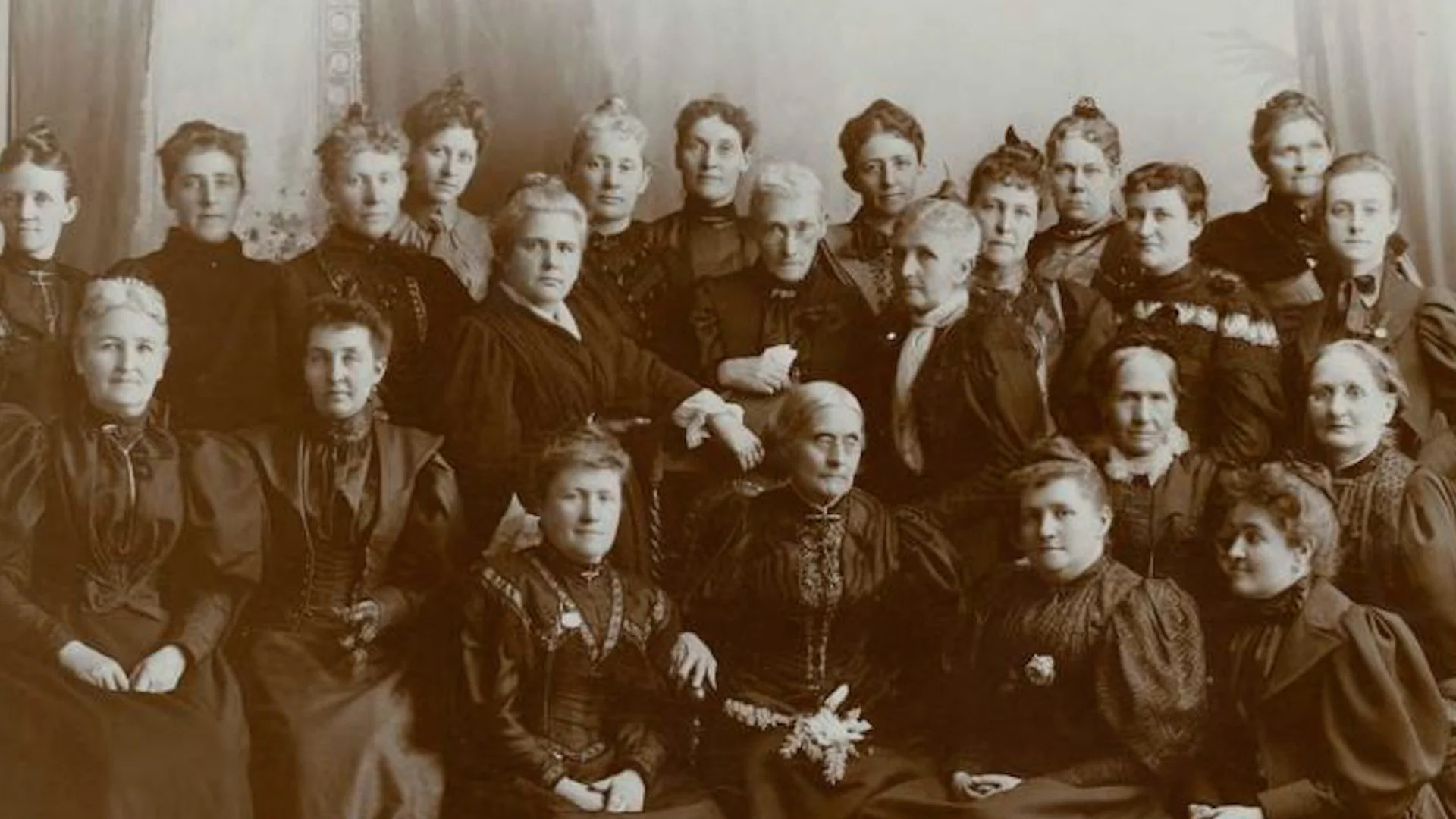
They came west not to conquer, but as citizens on the move, carrying with them the habits, hopes, and hard-earned lessons of the young American republic. The Oregon Trail, stretching some 2,000 miles from the Missouri River to the valleys beyond the Rockies, was not a road in the usual sense. It was an idea made visible on the land, an expression of resolve, optimism, and at times extraordinary endurance.
The Oregon Trail was a pathway to the Willamette Valley, where the Methodist Jason Lee had established a mission. The path was first explored by the Wilkes expedition in 1841, named for the United States Naval Officer Charles Wilkes. In 1843, John C. Frémont, a future California senator and the Republican Party's first presidential candidate, provided an accurate map of the trail. In the spring months, when the grass was new and the river still ran cold and fast, families gathered at places like Independence and St. Joseph, Missouri. Wagons stood in long, uneven lines. There were farmers from Ohio, shopkeepers from Illinois, veterans of earlier migrations, and more than a few who had never traveled more than a day's ride from home. What united them was a belief, quiet, but firm, that life might be better farther on. The route west had first been opened by the expedition we cover in our episode on the Lewis and Clark expedition.
The Prairie Schooner
They made their way west in wagons. Not the heavy, high-sided Conestogas, but what came to be known as the prairie schooner. West of the Mississippi, pioneers needed a wagon that was more lightweight, easier for oxen and mules to pull over long distances. The cargo beds were shallow, making them less likely to tip over across difficult terrain. Many could be dismantled for crossing rivers. The canvas covers could be seen across vast spans of the prairie like sails on a great lake, hence the nickname schooners. Northwest of Missouri, the Oregon Trail followed the Platte River across Nebraska, then through South Pass, a 20-mile-wide, gently sloping gap in the Rocky Mountains. Many travelers were soon diverted south by the events we cover in our episode on the California Gold Rush.
Forts, Rivers, and the Long Route West
Forts had been established where the wagon trains could rest and resupply. 660 miles from Independence, Missouri, stood Fort Laramie. From the South Pass, the gateway to Oregon, the stalwart parties would cross the Green River Valley to Fort Bridger, named for mountain man Jim Bridger. At that juncture, they were roughly 1,070 miles past their point of origin. Along the Snake River, there was Fort Hall, then later Fort Boise. Once the pioneers crossed the Blue Mountains, they came to the Columbia River, which they followed all the way to the mouth of the Willamette River. There they turned south into the Willamette Valley. At night, the wagons were drawn into a circle. Stories were told, hymns were sung. Cholera was the great terror of the trail, striking swiftly and without regard to age or strength. Graves appeared along the route, some marked, many not. Yet the movement continued. To stop entirely was unthinkable. Progress, however slow, was the only answer.
Testing Themselves Against Distance and Nature
At landmarks like Chimney Rock and Scotts Bluff, the land itself seemed to acknowledge their passage. These were not merely geological features. They were mileposts of reassurance. The American pioneers had not simply traveled west. They had tested themselves against distance, uncertainty, and nature's indifference. The Oregon Trail was traveled by ordinary people who persevered in the faith they shared in a shared future. And in that long procession of wagons creaking steadily toward the horizon, one can see the American story moving forward mile by mile. The native peoples whose lands the trail crossed had occupied them for thousands of years, as we cover in our episode on the first Americans.